9
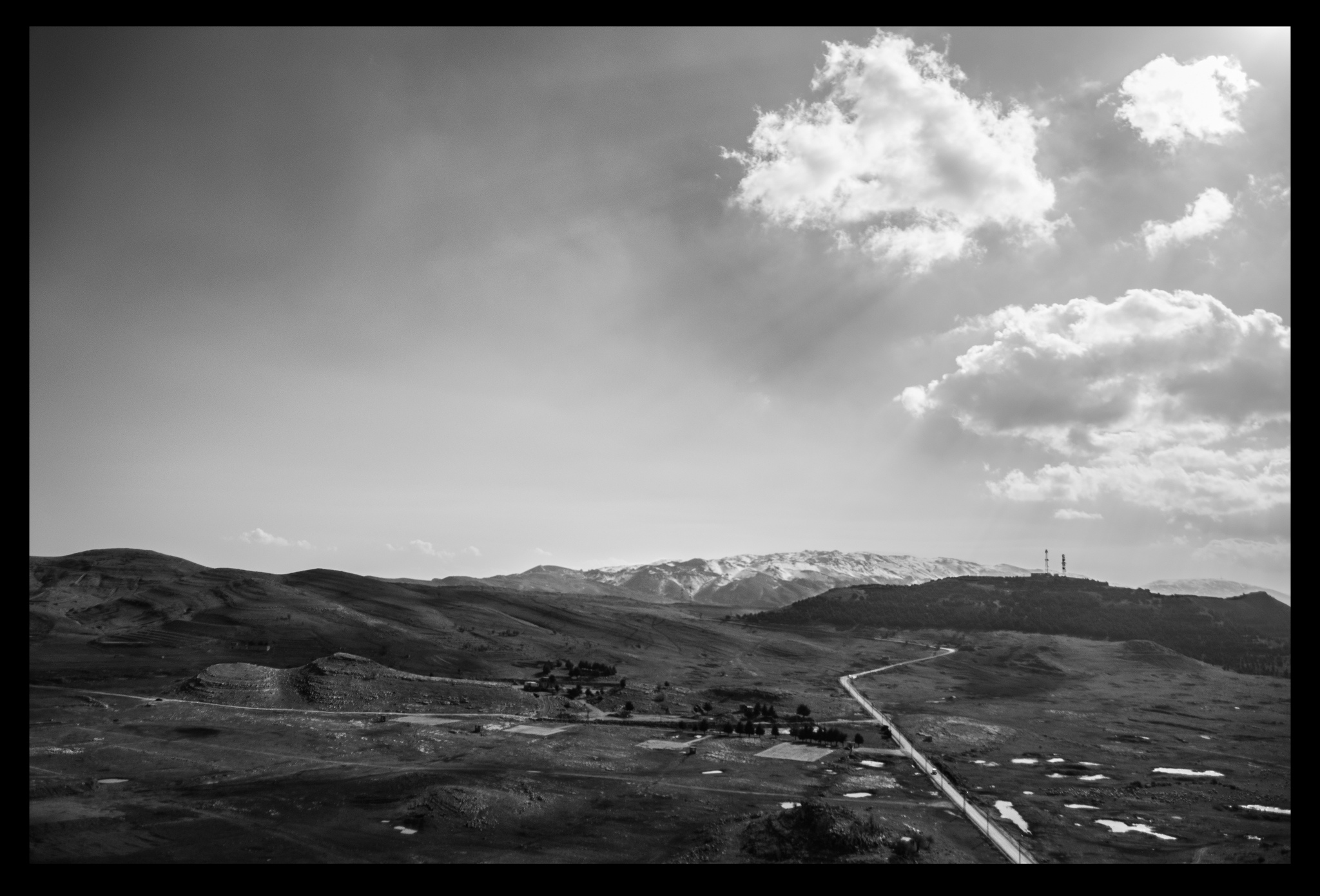
The area named the Mgheiti field of Dahr el Baidar has an approximate altitude of 6,000 ft, and is considered a strategic military point because of its view over most of Lebanon and its location in reference to the Beirut-Damascus highway. It was controlled by the Syrians for many years; housing bases, air defense units, and a radar capable of detecting incoming traffic from areas such as Israel. In April of 2001, four Israeli planes fired a total of six missiles at the Syrian radar, completely destroying it and killing three soldiers. In 2004 and 2005, Lebanese protesters helped to persuade talks of an evacuation of the area of Dahr el Baidar, leaving the area to the Lebanese government. It is now used for military training and the detonation of ammunition by the Lebanese army.